 Atlas of China
Inner Mongolia 内蒙古Nèi Měnggǔ
Grasslands, desert dunes and birch forest along China's northern frontier
- Type
- Autonomous region
- Capital
- Hohhot
- Featured places
- 4
- Cities and prefectures
- 12
- Listed sites
- 2365 rated 5A · 170 rated 4A · 81 national heritage
About Inner Mongolia
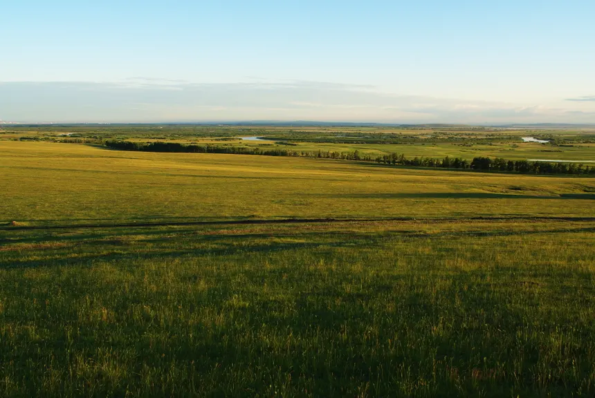
Inner Mongolia arcs for more than two thousand kilometres along China's northern border, shifting from the Hulunbuir grasslands and Greater Khingan forests in the east to the towering dunes of the Badain Jaran Desert in the west. Mongolian herding life carries on in felt yurts, salty milk tea and the summer Naadam games of wrestling, archery and horse racing. Hohhot, the capital, has Tibetan Buddhist temples dating back to the sixteenth century.
Inner Mongolia at a glance
- Area
- 1,181,104 km²
- Population
- 24.0 million 2020
- Highest point
- Helan Mountains 贺兰山3,556 m
Area, population and highest point from Wikidata; the population is the latest census or official estimate there.
What to eat in Inner Mongolia
- Hand-held boiled mutton (手把肉)
- Hohhot mutton shaomai (烧麦)
- Mongolian salty milk tea (咸奶茶)
Places to visit in Inner Mongolia
-
Hulunbuir Grassland 呼伦贝尔大草原
Summer grassland to the horizon, looping rivers and yurts near the Russian border
-
Badain Jaran Desert 巴丹吉林沙漠
Some of Earth's tallest dunes, with lakes tucked into the hollows between them
-
Ejin Poplar Forest 额济纳胡杨林
Golden Euphrates poplars along a Gobi river, at their best for three weeks in October
-
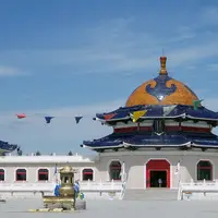
Mausoleum of Genghis Khan 成吉思汗陵
A 1950s memorial to the Khan, where hereditary Darkhad guardians still keep the rites
Listed sites in Inner Mongolia
236 sites in Inner Mongolia are on the official lists, 5 of them rated 5A and 81 protected as national heritage. They are listed by city, with what each is and how to get there.
All 236 listed sites in Inner MongoliaCities and prefectures of Inner Mongolia
- Alxa 阿拉善 League · Bayanhot
Towering dunes, a poplar oasis and the ruined Black City - Baotou 包头 City
Steel works, a hillside Gelug monastery and an old stretch of Great Wall - Bayannur 巴彦淖尔 City · Linhe
Hetao irrigation canals, bird-filled reed lakes and cliff engravings - Chifeng 赤峰 City
Khitan capitals, a Neolithic jade culture and a granite forest - Hinggan 兴安 League · Ulanhot
Forested Khingan hills, a crater lake and mineral springs at Arxan - Hohhot 呼和浩特 City
Altan Khan's temple city, where breakfast is shaomai and brick tea - Hulunbuir 呼伦贝尔 City · Hailar
Open grassland, birch forest and China's only reindeer herders - Ordos 鄂尔多斯 City · Dongsheng
Singing dunes, Genghis Khan's shrine and a showpiece new city - Tongliao 通辽 City
Dunes, a Neolithic village and the temples of a lama-ruled banner - Ulanqab 乌兰察布 City · Jining
High meadows, a saline lake with hot springs and Zhuozi smoked chicken - Wuhai 乌海 City
A small Yellow River city of calligraphy, a desert-edge lake and Neolithic faces - Xilingol 锡林郭勒 League · Xilinhot
Xanadu's ruins, a Gelug monastery and milk 'white foods' on the steppe
Before you go
- Visas and visa-free entry Can I visit China without a visa?
- Paying for things How do I pay for things in China without a Chinese bank account?
- Internet and apps Will Google and my other apps work in China?
- Trains and 12306 How do I book train tickets in China with a foreign passport?
- Book popular sights early Which sights in China need booking in advance, and how?
- When to go When is the best time to visit China?
On the map
Open Inner Mongolia on the illustrated map to see where its places sit, how far apart they are, and to add them to a trip.
Open Inner Mongolia on the map