 Atlas of China
Gansu 甘肃Gānsù
Silk Road oases, Dunhuang's painted caves and the rainbow hills of Zhangye
- Type
- Province
- Capital
- Lanzhou
- Featured places
- 7
- Cities and prefectures
- 14
- Listed sites
- 2244 rated 5A · 150 rated 4A · 96 national heritage
About Gansu
Much of Gansu is a long, narrow corridor between the Qilian Mountains and the desert, the route Silk Road caravans followed westward out of China. At its far end, the Mogao Caves at Dunhuang preserve a thousand years of Buddhist murals and statues, and the sand dunes of Mingsha Shan curl around a crescent-shaped spring. Elsewhere lie the Jiayuguan fortress, the striped Danxia hills of Zhangye and the Tibetan monastery town of Xiahe.
Gansu at a glance
- Area
- 454,000 km²
- Population
- 25.0 million 2020
- Highest point
- Altun Shan 阿尔金山5,830 m
Area, population and highest point from Wikidata; the population is the latest census or official estimate there.
What to eat in Gansu
- Lanzhou beef noodles (兰州牛肉面)
- Jiangshui sour noodles (浆水面)
- Dunhuang donkey meat with yellow noodles (驴肉黄面)
Places to visit in Gansu
-
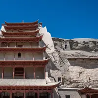
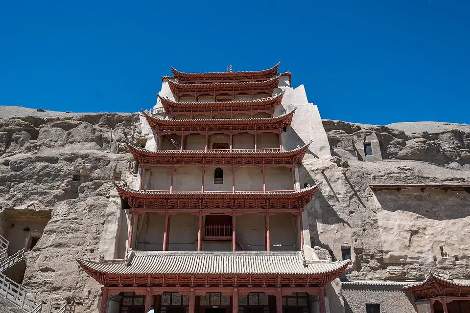
Mogao Caves 莫高窟
A thousand years of Buddhist murals in desert cliff caves on the Silk Road
-
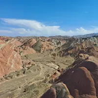
Zhangye Danxia (Rainbow Mountains) 张掖七彩丹霞
Mountains striped red, orange and yellow like the layers of a painted cake
-
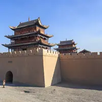
Jiayuguan Pass 嘉峪关
The Great Wall's mighty western fortress, framed by the snowy Qilian Mountains
-
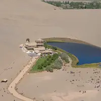
Crescent Lake & Singing Sand Dunes 鸣沙山月牙泉
A crescent-shaped spring among towering dunes, right on the edge of town
-
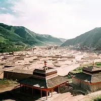
Labrang Monastery 拉卜楞寺
A living Tibetan Buddhist monastery town, ringed by a long corridor of prayer wheels
-
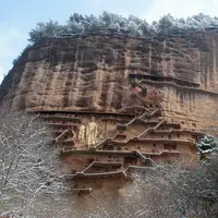
Maijishan Grottoes 麦积山石窟
Painted clay Buddhas in caves hung high on a haystack-shaped cliff
-
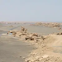
Dunhuang Yardang National Geopark 敦煌雅丹国家地质公园
Wind-carved clay towers stretching to the horizon in the Gobi beyond Yumen Pass
Listed sites in Gansu
224 sites in Gansu are on the official lists, 4 of them rated 5A and 96 protected as national heritage. They are listed by city, with what each is and how to get there.
All 224 listed sites in GansuCities and prefectures of Gansu
- Baiyin 白银 City
Copper mines, sheepskin rafts and a Ming 'Turtle City' on the Yellow River - Dingxi 定西 City
Potato country in the loess hills, where the Wei River begins - Gannan 甘南 Tibetan Autonomous Prefecture · Hezuo
Monastery towns, Yellow River grassland and limestone peaks in Amdo - Jiayuguan 嘉峪关 City
The Ming Great Wall's western fortress, and the steel town that grew beside it - Jinchang 金昌 City
China's nickel city, with Tang pagodas in a gorge and a Mars camp in the Gobi - Jiuquan 酒泉 City
Painted caves, singing dunes and Han frontier passes at the corridor's far end - Lanzhou 兰州 City
Beef noodles, waterwheels and a 1909 iron bridge on the Yellow River - Linxia 临夏 Hui Autonomous Prefecture
Hui lanes and mosques, fossil beasts and Buddhas above the Yellow River - Longnan 陇南 City
Green gorges south of the Qinling, with a Han inscription carved in a cliff - Pingliang 平凉 City
A Taoist mountain of cliff-top halls, and Northern Wei Buddhas by the Jing - Qingyang 庆阳 City
Gullied loess tablelands, Song pagodas and Buddhas cut into a river cliff - Tianshui 天水 City
A haystack crag of Buddhist caves and the temple of the legendary Fuxi - Wuwei 武威 City
The Flying Horse's tomb, a Ming Confucian temple and a bilingual Tangut stele - Zhangye 张掖 City
Striped hills, a sleeping Buddha and Yugur grassland below the Qilian snows
Before you go
- Visas and visa-free entry Can I visit China without a visa?
- Paying for things How do I pay for things in China without a Chinese bank account?
- Internet and apps Will Google and my other apps work in China?
- Trains and 12306 How do I book train tickets in China with a foreign passport?
- Book popular sights early Which sights in China need booking in advance, and how?
- When to go When is the best time to visit China?
On the map
Open Gansu on the illustrated map to see where its places sit, how far apart they are, and to add them to a trip.
Open Gansu on the map