 Atlas of China
Hinggan 兴安Xīng’ān
Forested Khingan hills, a crater lake and mineral springs at Arxan
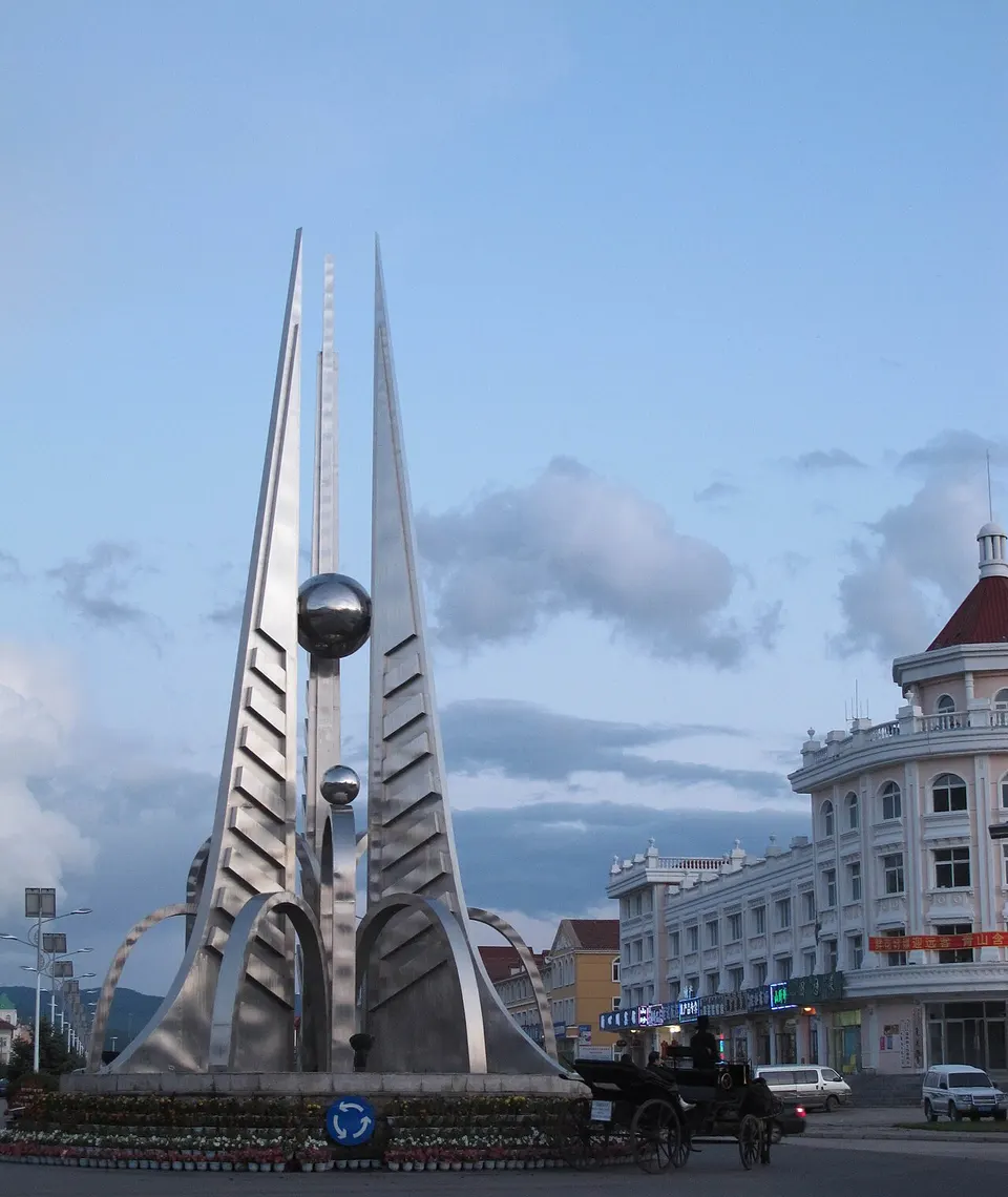
- Type
- League
- Region
- Inner Mongolia
- Seat
- Ulanhot
- Listed sites
- 151 rated 5A · 11 rated 4A · 4 national heritage
About Hinggan
Hinggan League takes its name from the Greater Khingan range and reaches from the forested hills around Arxan, a spa town whose name comes from the Mongolian for 'hot holy water', down to the grassland around Ulanhot. The Arxan–Chaihe Scenic Area takes in forest, the Yimin River and the crater lake of Tianchi. In Ulanhot, the league seat and the first capital of the Inner Mongolia Autonomous Region in 1947, a temple to Genghis Khan stands on Hanshan hill.
Listed sites in Hinggan
15 sites in Hinggan are on the official lists. Those with a page of their own link to it; the rest open as cards on the map.
- Arxan–Chaihe Scenic Area 阿尔山—柴河 5A scenic area · on the map
The scenic area covers about 1,031 square kilometres and spans Arxan in Hinggan League and Chaihe town in Zalantun, Hulunbuir. - Aolunbukan Forest Culture Tourism Area 奥伦布坎 4A scenic area · on the map
Aolunbukan is a forest tourism area of about 292 square kilometres in the Greater Khingan hills near Bailang town, Arxan, with primeval forest, volcanic lava terrain, wetland and streams. - Arxan Port Scenic Area 阿尔山口岸 4A scenic area · on the map
The scenic area is built around Arxan Port, a road port of entry in the forested Greater Khingan hills west of Arxan. - Chaersen Reservoir 察尔森水库 4A scenic area · on the map
Chaersen Reservoir is a large reservoir on the Tao'er River, a tributary of the Nen, 1.7 km north of Chaersen town in Horqin Right Front Banner. - Genghis Khan Temple, Ulanhot 成吉思汗庙 4A scenic area · National heritage site · on the map
The Genghis Khan Temple stands on Hanshan hill in the north of Ulanhot and was built in the early 1940s, finishing in 1944, with donations from Mongol communities. - Haishen Shengquan Hot Spring Resort 海神圣泉 4A scenic area · on the map
A hot-spring resort in the centre of Arxan, built over the town's mineral springs, with spa pools, a rehabilitation hospital and the China Hot Spring Museum, which opened in 2004. - Hangali Lake Resort 翰嘎利湖 4A scenic area · on the map
Hangali Lake is a lake just north of Bayan Huxu in Horqin Right Middle Banner, with a leisure resort on its eastern shore. - Inner Mongolia National Liberation Memorial Hall 内蒙古民族解放纪念馆 4A scenic area · on the map
The memorial hall in Ulanhot, the city where the Inner Mongolia Autonomous Government was founded in 1947, was built to mark the autonomous region's 60th anniversary and opened in August 2007. - Tianjiao Tianjun Eco-tourism Resort 天骄天骏 4A scenic area · on the map
Tianjiao Tianjun is an eco-tourism resort on the hill of Tianjun at the northern edge of Ulanhot, close to an expressway interchange. - Ulan Maodu Grassland 乌兰毛都草原 4A scenic area · on the map
Ulan Maodu is a rolling hill grassland in the north-west of Horqin Right Front Banner, crossed by the winding Jiuqu River. - Wujiaofeng Maple Forest 五角枫 4A scenic area · on the map
The scenic area is a large stand of painted maples (wujiaofeng) scattered through open woodland on the Daichintala grassland in Horqin Right Middle Banner. - Zhongying Film Production Base 中影制作基地 4A scenic area · on the map
Zhongying Film Production Base is a film-set complex of streets and buildings next to the Tushiyetu prince's palace in Horqin Right Middle Banner, open to visitors as a tourist site. - Former Office of the CPC Inner Mongolia Working Committee 中国共产党内蒙古工作委员会办公旧址 National heritage site · on the map
The offices used by the CPC Inner Mongolia Working Committee in 1947 stand in the centre of Ulanhot and are now an exhibition site. - Inner Mongolia Autonomous Government Founding Conference Site 内蒙古自治政府成立大会会址 National heritage site · on the map
This two-storey blue-brick hall with a swallow-tail roof was built in 1935 as the auditorium of the Manchukuo army's Xing'an military academy. - Japanese Military Fortification Remains at Arxan 侵华日军阿尔山要塞遗址 National heritage site · on the map
The site is a group of Japanese military works of 1935–44 around Arxan, listed together as a national monument, including the town's railway station and the bunkers at the ends of the North and South Xing'an tunnels.
On the map
Open Hinggan on the illustrated map to see its outline, its places and listed sites together, and to add them to a trip.
Open Hinggan on the map