 Atlas of China
Jiuquan 酒泉Jiǔquán
Painted caves, singing dunes and Han frontier passes at the corridor's far end
About Jiuquan
Jiuquan, Gansu's largest prefecture, stretches some 600 km across desert and oasis at the western end of the Hexi Corridor, and takes its name from a spring where, legend says, the Han general Huo Qubing shared the emperor's wine with his troops. Most visitors come for Dunhuang: the Mogao Caves, the dunes and Crescent Lake of Mingsha Shan, and the Han frontier passes of Yumen and Yang. Farther east lie the Yulin Caves and the walled ruins of Suoyang City near Guazhou.
What to eat in Jiuquan
- Dunhuang donkey meat with yellow noodles (敦煌驴肉黄面)
Featured places in Jiuquan
-
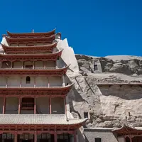
Mogao Caves 莫高窟
A thousand years of Buddhist murals in desert cliff caves on the Silk Road
-
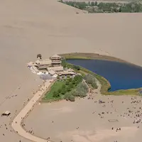
Crescent Lake & Singing Sand Dunes 鸣沙山月牙泉
A crescent-shaped spring among towering dunes, right on the edge of town
-
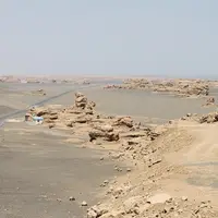
Dunhuang Yardang National Geopark 敦煌雅丹国家地质公园
Wind-carved clay towers stretching to the horizon in the Gobi beyond Yumen Pass
Listed sites in Jiuquan
19 sites in Jiuquan are on the official lists. Those with a page of their own link to it; the rest open as cards on the map.
- Boluozhuanjing Film Base (Old Aksay Town) 博罗转井影视基地 4A scenic area · on the map
The abandoned former seat of Aksay Kazakh Autonomous County, on the northern slopes of the Altyn-Tagh, left empty when the county town moved down to the plain in 1998 and since used as a film set. - Chijin Gorge Reservoir 赤金峡 4A scenic area · on the map
A scenic area built around the Chijin Gorge reservoir on the Shiyou River in Chijin town, between Yumen's old and new towns, run as a water-conservancy scenic area in the Gobi. - Guazhou Gobi Sculpture Corridor 瓜州戈壁雕塑艺术长廊 4A scenic area · on the map
A group of large outdoor artworks in the Gobi on the road from Guazhou towards the Yulin Caves. - Jinta Desert Poplar Forest 金塔沙漠胡杨林 4A scenic area · on the map
A planted forest of Euphrates poplars on the desert edge north-west of Jinta town, grown through volunteer tree-planting campaigns since the 1960s to stop the sand at what had been the county's worst wind gap; the poplar scenic area covers nearly 10,000 mu (about 6.7 km²). - Jiuquan Park (Western Han Jiuquan Scenic Spot) 西汉酒泉胜迹 4A scenic area · on the map
A lake park on the east side of central Jiuquan around the spring that gave the city its name: legend says the Han general Huo Qubing poured wine from the emperor into it to share with his troops. - Jiuquan Tianbao Ornamental Stone Exhibition 酒泉天宝 4A scenic area · on the map
An indoor exhibition of ornamental stones in a shopping complex in Jiuquan's Suzhou district, presented by its operators as China's largest stone-appreciation attraction. - Qilian Reed Sea 祁连苇海 4A scenic area · on the map
A reed, cattail and marsh wetland in Yinda town on the northern edge of the Jiuquan oasis, at the edge of the Badain Jaran desert, with the Ming Great Wall along its south side. - Suoyang City 锁阳城遗址 4A scenic area · National heritage site
The ruins of a walled Silk Road city in the Gobi south-east of Guazhou, seat of Guazhou prefecture under the Tang and abandoned in the 16th century; the rammed-earth walls of the inner city still stand 9–12.5 m high. - Xueyu Ziting Eco-Cultural Park 雪域紫亭 4A scenic area · on the map
An open park in Dangchengwan, the county town of Subei Mongol Autonomous County, made up of a flower field of about 1,000 mu, Ziting Lake and a fruit and vegetable picking garden. - Yang Pass 阳关 4A scenic area
The site of Yangguan, the southern of the two Han dynasty frontier passes west of Dunhuang, fortified around 120 BC to guard the southern Silk Road route to the Western Regions; the fort had fallen into ruin by about AD 900. - Yumen Oilfield Old No. 1 Well 玉门油田老一井 4A scenic area · National heritage site · on the map
The old oil town of Yumen, regarded as the cradle of China's oil industry, is where in 1939 geologist Sun Jianchu's team drilled the first well beside the small Laojunmiao temple; until the Daqing field was found, the Yumen field was the country's largest. - Yuze Lake Park 玉泽湖公园 4A scenic area
A city park in Yumen's new town, begun in 2000 when the city government moved here from the old oil town, laid out around an inner lake, an outer lake and a newer extension. - Zhang Zhi Calligraphy Culture Park (Caosheng Guli) 草圣故里文化产业园 4A scenic area · on the map
A calligraphy-themed culture park in Guazhou county town honouring Zhang Zhi, the Eastern Han calligrapher from this region who is revered in China as the 'sage of cursive script'. - Changma Grottoes 昌马石窟 National heritage site · on the map
Buddhist cave temples in the Changma basin south-west of Yumen, dated by their national listing (2019) to the Northern Wei through the Qing. - Jianshui Jinguan and Diwan Fort (Juyan Han Frontier Sites) 肩水金关遗址 National heritage site · on the map
The Gansu part of the Juyan frontier sites: Han dynasty forts and a checkpoint on the east bank of the Ejin (Hei) River in northern Jinta county, part of the Han defences that run on into Inner Mongolia. - Jiuquan Drum Tower 酒泉鼓楼 National heritage site
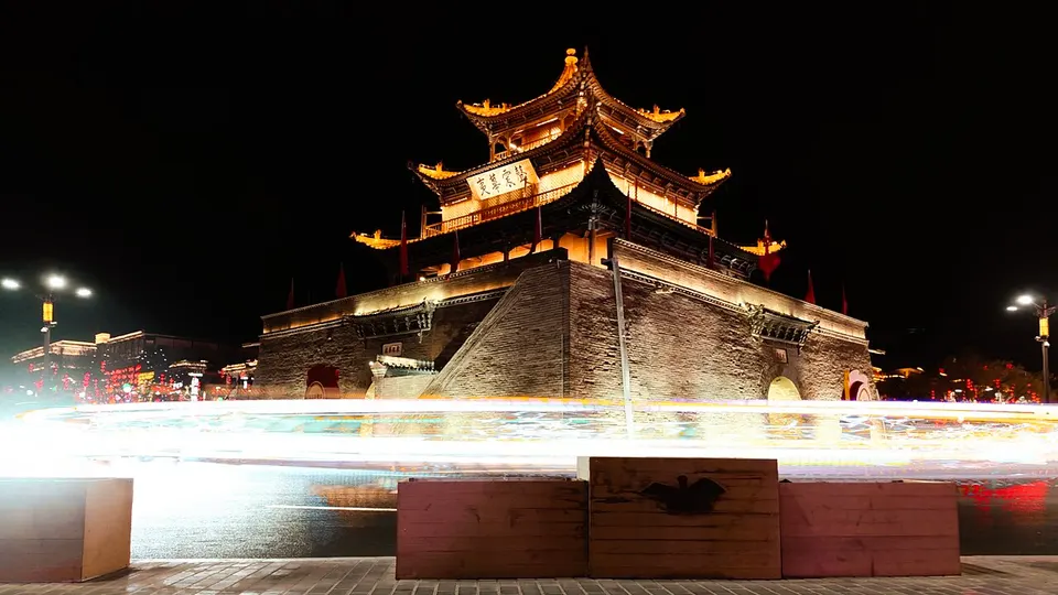
The landmark tower at the central crossroads of Jiuquan: its rammed-earth base was the east gate tower of the city rebuilt under the Former Liang in the 4th century, found itself at the centre of town when the walls were extended east in the Ming, and was faced with brick in 1725. - Xuanquan Post Station Site 悬泉置遗址 National heritage site
A Han dynasty relay station on the Silk Road between Dunhuang and Guazhou, in use from about 111 BC until the Wei–Jin period to lodge envoys, officials and foreign guests. - Yulin Caves 榆林窟 National heritage site
Buddhist cave temples cut into both cliffs of the Yulin River gorge south of Guazhou, regarded as a sister site of the Mogao Caves and managed by the Dunhuang Academy. - Yumen Pass 玉门关 National heritage site
The Jade Gate, the Han dynasty frontier pass at the western end of the Hexi defence line beyond Dunhuang, through which the northern Silk Road left for the Western Regions; it is traditionally said to be named after the jade brought in from the west.
Getting to Jiuquan
Train, flight and driving times from the cities most visitors come from, with stations, fares and how many run a day; each opens the full comparison.
On the map
Open Jiuquan on the illustrated map to see its outline, its places and listed sites together, and to add them to a trip.
Open Jiuquan on the map