 Atlas of China
Tibet 西藏Xīzàng
High monasteries, pilgrim circuits and the north face of Everest
- Type
- Autonomous region
- Capital
- Lhasa
- Featured places
- 6
- Cities and prefectures
- 7
- Listed sites
- 832 rated 5A · 39 rated 4A · 51 national heritage
About Tibet
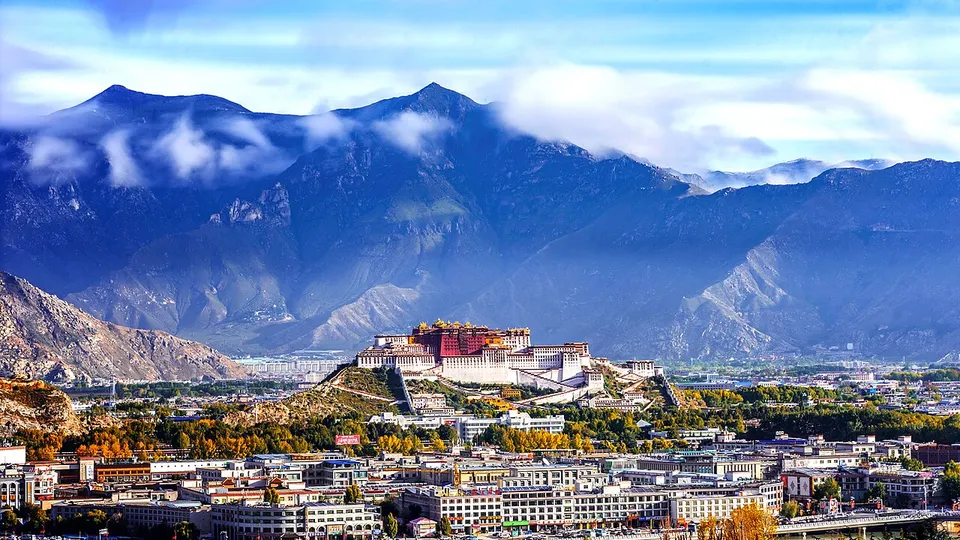
Averaging more than four thousand metres above sea level, Tibet is a world of wide plateaus, turquoise lakes and Himalayan peaks, including the north face of Everest, known locally as Qomolangma. In Lhasa, pilgrims spin prayer wheels as they circle the Jokhang Temple, and the white and deep-red walls of the Potala Palace rise above the city. Monasteries such as Sera, Drepung and Tashilhunpo remain centres of Tibetan Buddhist study, chanting and lively courtyard debate.
Tibet at a glance
- Area
- 1,228,400 km²
- Population
- 3.6 million 2020
- Highest point
- Mount Everest 珠穆朗玛峰8,849 m
Area, population and highest point from Wikidata; the population is the latest census or official estimate there.
What to eat in Tibet
- Butter tea (酥油茶)
- Tsampa roasted barley flour (糌粑)
- Air-dried yak meat (风干牦牛肉)
Places to visit in Tibet
-
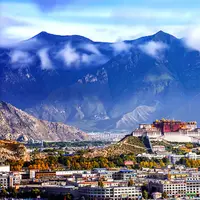
Potala Palace 布达拉宫
The red and white palace of the Dalai Lamas, rising in tiers above Lhasa
-
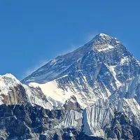
Everest (Qomolangma) Base Camp 珠峰大本营
Face the full north wall of Everest from around 5,000 metres
-
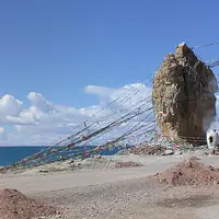
Namtso Lake 纳木错
A vast turquoise sky lake at 4,700 metres beneath the Nyenchen Tanglha range
-
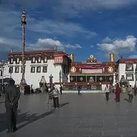
Jokhang Temple & Barkhor 大昭寺与八廓街
Tibet's holiest temple, ringed by the pilgrim circuit of the Barkhor
-
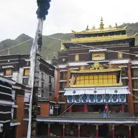
Tashilhunpo Monastery 扎什伦布寺
The seat of the Panchen Lamas, with a 26-metre gilded Maitreya and a giant thangka wall
-
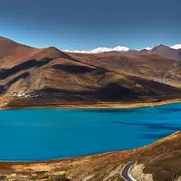
Yamdrok Lake 羊卓雍措
A turquoise, snow-ringed sacred lake revealed from the Kamba La pass
Listed sites in Tibet
83 sites in Tibet are on the official lists, 2 of them rated 5A and 51 protected as national heritage. They are listed by city, with what each is and how to get there.
All 83 listed sites in TibetCities and prefectures of Tibet
- Chamdo 昌都 City
The river valleys of Kham, a Bön mountain monastery and salt pans on the Mekong - Lhasa 拉萨 City
Barkhor pilgrims, the Potala above and great monasteries at the city's edge - Nagqu 那曲 City
Northern Tibet's high plateau, a holy Bön lake and an August horse festival - Ngari 阿里 Prefecture · Shiquanhe
Mount Kailash, Lake Manasarovar and the ruined Guge capital at Tsaparang - Nyingchi 林芝 City · Bayi
Forested gorges below Namcha Barwa, a mountain lake and spring peach blossom - Shannan 山南 City · Tsetang
Tibet's first palace, first monastery and the tombs of its early kings - Shigatse 日喀则 City
Everest's north face, the Panchen Lamas' seat and the Kumbum of Gyantse
Before you go
- Visas and visa-free entry Can I visit China without a visa?
- Paying for things How do I pay for things in China without a Chinese bank account?
- Internet and apps Will Google and my other apps work in China?
- Trains and 12306 How do I book train tickets in China with a foreign passport?
- Book popular sights early Which sights in China need booking in advance, and how?
- When to go When is the best time to visit China?
On the map
Open Tibet on the illustrated map to see where its places sit, how far apart they are, and to add them to a trip.
Open Tibet on the map