 Atlas of China
Ngari 阿里Ālǐ
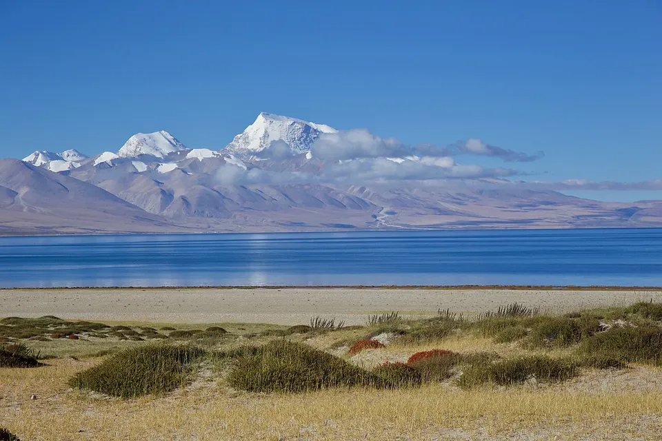
Mount Kailash, Lake Manasarovar and the ruined Guge capital at Tsaparang
About Ngari
Ngari, the far west of Tibet, is one of the most thinly populated places on earth, a high land where the Himalaya and the Gangdise range meet, and its main town is Shiquanhe. Pilgrims of four faiths walk the 53-kilometre kora around Mount Kailash (6,638 metres), near the freshwater Lake Manasarovar. In the eroded earth-forest country of Zanda stand the ruined Guge capital at Tsaparang, Tholing Monastery from the end of the 10th century, and the cave temples of Piyang and Dungkar.
Listed sites in Ngari
6 sites in Ngari are on the official lists. Those with a page of their own link to it; the rest open as cards on the map.
- Mount Kailash and Lake Manasarovar 冈仁波齐—玛旁雍错 4A scenic area
Mount Kailash (Kang Rinpoche, 6,638 m) and Lake Manasarovar (Mapham Yumtso in Tibetan) form a sacred landscape for Buddhists, Hindus, Jains and followers of Bön, and pilgrims come to walk around the mountain and bathe in the lake. - Pangong Lake Scenic Area (Rutog) 班公湖 4A scenic area · on the map
A lakeside scenic area on the Rutog shore of Pangong Lake (Bangong Co), a long, narrow lake at about 4,240 m on the plateau of far western Tibet. - Tsaparang (Guge Kingdom Ruins) 古格王国遗址 4A scenic area · National heritage site
The ruined capital of the Guge kingdom, which ruled this part of western Tibet from the 10th century until it fell in the 1630s, built up an earth hill above the Langqên Zangbo (Sutlej) valley. - Khorzhak Monastery 科迦寺 National heritage site · on the map
A Sakya monastery in Khorzhak village on the Karnali (Peacock) River south-east of Burang town, founded in 996 and traditionally linked with the translator Rinchen Zangpo. - Piyang and Dungkar Cave Temples 皮央·东嘎遗址 National heritage site · on the map
The largest Buddhist cave site found so far in Tibet, spread across the cliffs above the villages of Piyang and Dungkar north of Zanda, with nearly a thousand caves once used for worship, meditation, living and storage. - Tholing Monastery 托林寺 National heritage site
The oldest monastery in Ngari, founded at the end of the 10th century by the Guge king Yeshe-Ö in what is now Zanda town, and a starting point of the later spread of Buddhism in Tibet.
On the map
Open Ngari on the illustrated map to see its outline, its places and listed sites together, and to add them to a trip.
Open Ngari on the map