 Atlas of China
Mount Kailash and Lake Manasarovar 冈仁波齐—玛旁雍错Gāngrénbōqí–Mǎpángyōngcuò
4A scenic area · Ngari, Tibet
About Mount Kailash and Lake Manasarovar
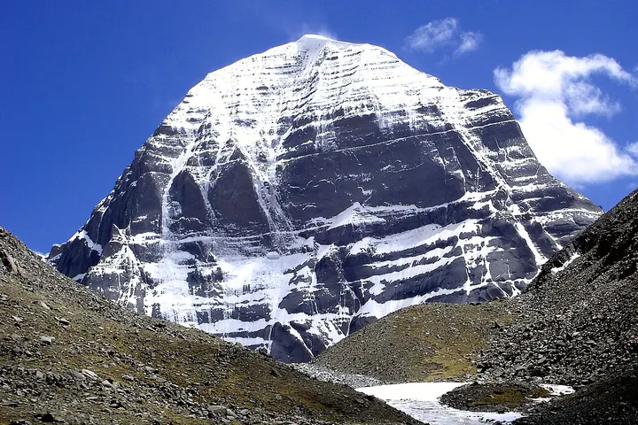
Mount Kailash (Kang Rinpoche, 6,638 m) and Lake Manasarovar (Mapham Yumtso in Tibetan) form a sacred landscape for Buddhists, Hindus, Jains and followers of Bön, and pilgrims come to walk around the mountain and bathe in the lake. The 53 km kora around Kailash starts and ends at Darchen (4,670 m) and crosses the Drölma La at about 5,650 m, usually over three days. The freshwater lake, about 320 km² at some 4,600 m, lies a short drive south of the mountain.
How to get to Mount Kailash and Lake Manasarovar
Darchen, the base for the kora, is about 250 km by road south-east of Shiquanhe, Ngari's main town, and the lake shore at Chiu Monastery about 35 km by road to the south; carry your passport for road checkpoints. It lies in a border area, which also needs a border permit. The high section of the kora is closed in winter, and snow can close the whole scenic area from October, so check before going.
On the map
Open Mount Kailash and Lake Manasarovar on the illustrated map to see the terrain around it and what else is close, and to add it to a trip.
Open Mount Kailash and Lake Manasarovar on the map