 Atlas of China
Kizilsu 克孜勒苏Kèzīlèsū
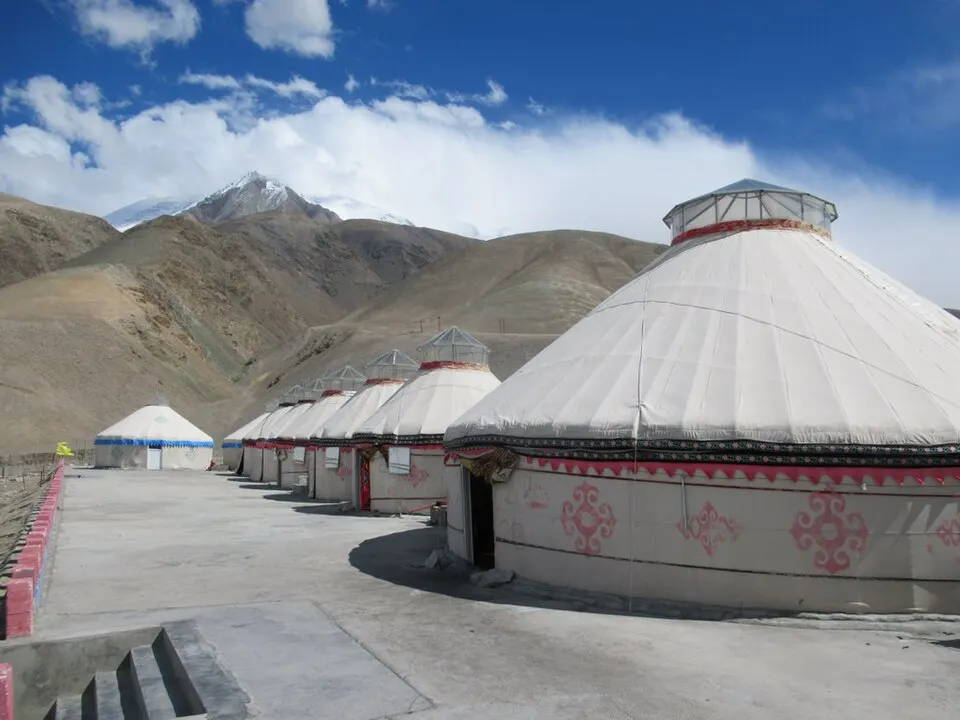
Kyrgyz yurts below Pamir glaciers, and the fig orchards of Artux
- Type
- Kyrgyz Autonomous Prefecture
- Region
- Xinjiang
- Seat
- Artux
- Featured places
- 1
- Listed sites
- 32 rated 4A · 1 national heritage
About Kizilsu
Kizilsu, meaning 'red water', is China's westernmost prefecture, bordering Kyrgyzstan and Tajikistan across the Tian Shan and the eastern Pamirs, and most of China's Kyrgyz people live here. Artux, the capital, is known for its figs, grown in orchard villages such as Azihan, and for its domed shrine-tombs. In Akto County, the Karakoram Highway passes Karakul Lake below Muztagh Ata, and the Oytak valley drops from glaciers to spruce forest and meadows.
What to eat in Kizilsu
- Artux figs (阿图什无花果)
Featured places in Kizilsu
-

Karakul Lake & Karakoram Highway 喀拉库勒湖
A still, high lake mirroring Muztagh Ata on the road to Pakistan
Listed sites in Kizilsu
3 sites in Kizilsu are on the official lists. Those with a page of their own link to it; the rest open as cards on the map.
- Azihan Fig Village 阿孜汗无花果风情小镇 4A scenic area · on the map
A traditional Uyghur village in Songtak town just outside Artux, protected as a traditional village and opened to visitors around its fig orchards and Artux-style houses. - Oytak Glacier Park 克州冰川公园 4A scenic area · on the map
A mountain valley west of Oytak town in Akto County, where glaciers come down from snow peaks to forest, meadows and waterfalls. - Aibifu Aijiemu Mazar, Upper Artux 艾比甫·艾洁木麻扎 National heritage site · on the map
A domed shrine-tomb in Upper Artux, rebuilt between 1889 and 1899 by local merchant brothers on a site venerated since the Karakhanid period; local tradition says it honours a merchant from Persia who cancelled the villagers' debts.
On the map
Open Kizilsu on the illustrated map to see its outline, its places and listed sites together, and to add them to a trip.
Open Kizilsu on the map