 Atlas of China
Xinzhou 忻州Xīnzhōu
Pilgrim peaks, Tang timber halls and a Great Wall gate at Yanmen
About Xinzhou
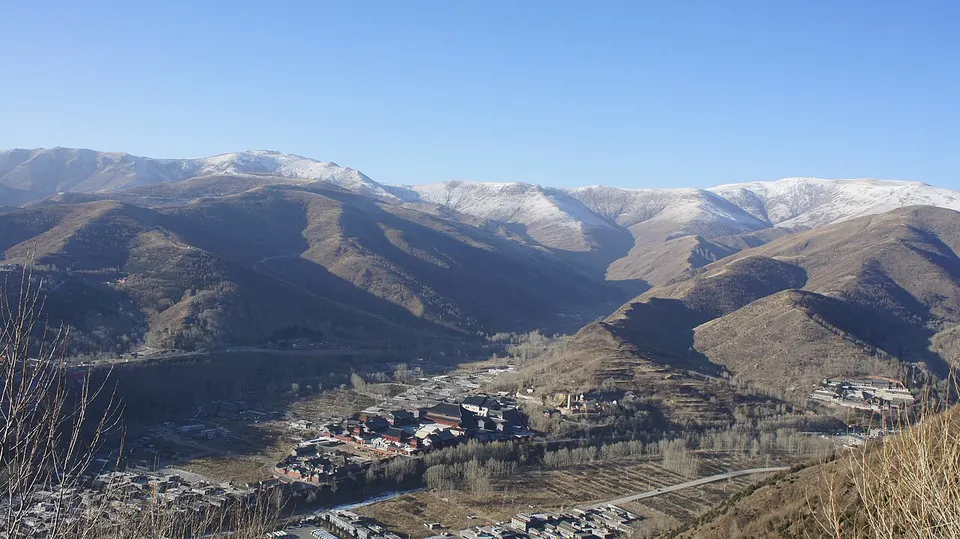
Xinzhou holds Mount Wutai, one of the four sacred Buddhist mountains of China, where more than forty monasteries cluster among five flat-topped peaks and pilgrims have come for a thousand years. Nanchan Temple (782) and Foguang Temple (857) preserve Tang-dynasty timber halls, among the oldest in China. North-west of the mountain, Yanmen Pass guards a gap in the Great Wall, and Daizhou Ancient City still has its Bianjing Drum Tower.
What to eat in Xinzhou
- Dingxiang steamed pork (定襄蒸肉)
- Shenchi mooncakes (神池月饼)
Featured places in Xinzhou
-
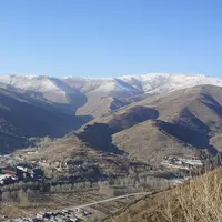
Mount Wutai 五台山
Temples, a towering white stupa and yellow-tiled roofs below five flat-topped holy peaks
-
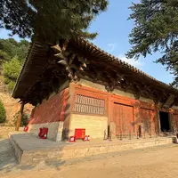
Foguang Temple 佛光寺
A Tang timber hall of 857 on a quiet hillside, still filled with its Tang clay statues
-
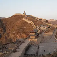
Yanmen Pass 雁门关
A Ming fortress gate on the Inner Great Wall, its ramparts running up the mountain ridges
Listed sites in Xinzhou
45 listed sites are in Xinzhou. These are the 14 rated 5A or 4A; see all 45 in the Shanxi list.
- Daizhou Ancient City 代州古城 4A scenic area · on the map
The walled town of Daixian, the seat of Dai County, whose walls were rebuilt in 1373 and are about 12 m high and 4.3 km round. - Former Residence of Yan Xishan, Hebian 阎家大院 4A scenic area · National heritage site
A large courtyard compound built from 1913 to 1937 in his home town of Hebian by Yan Xishan, who controlled Shanxi's government and army from 1911 until 1949. - Hanshan Cultural Park, Fanshi 憨山文化园 4A scenic area · on the map
A hillside cultural tourism park of about 81 hectares in Shahe town, in the north of Fanshi County, on the northern approach to Mount Wutai. - Hongmenkou Underground Great Wall 红门口地下长城 4A scenic area · on the map
A network of narrow defensive tunnels dug in the 20th century around Shuiquan village in Pianguan County and known as the underground Great Wall. - Huyuan Riverside Park, Fanshi 滹源景区 4A scenic area · on the map
A riverside park on the Hutuo River at the southern edge of Fanshi county town, with paths along a broad stretch of water. - Laoniuwan, Pianguan 老牛湾 4A scenic area · on the map
Laoniuwan is the village where the Yellow River enters Shanxi and the Great Wall meets the river, on the border with Inner Mongolia. - Mount Luya 芦芽山 4A scenic area · on the map
The highest peak of the Guancen range in Ningwu County, rising above 2,700 m and named for its stacked peaks that resemble reed shoots. - Songjiagou Village 宋家沟 4A scenic area · on the map
A resettlement village built to rehouse residents of 14 poor mountain villages around Kelan, now run as a rural-tourism destination. - Source of the Fen River 汾河源头 4A scenic area · on the map
The headwaters of the Fen River, the longest river in Shanxi and the second-longest tributary of the Yellow River, which rises in the Guancen Mountains of Ningwu County. - Tianya Mountain, Yuanping 天涯山 4A scenic area · on the map
A scenic area of granite peaks and a small lake east of Yuanping, built around the story of Jie Zitui, the Spring and Autumn official remembered for carrying his mother into the mountains. - Wannian Ice Cave 万年冰洞 4A scenic area · on the map
A large natural ice cave in a forested gorge in the Luya Mountain area of Ningwu County. - Xinzhou Ancient City 忻州古城 4A scenic area · on the map
The restored old quarter of Xinzhou, once the walled town of Xiurong, where lanes and buildings were repaired and rebuilt in a programme that began in 2017. - Yunzhong River Scenic Area 云中河 4A scenic area · on the map
A landscaped riverside area along the Yunzhong River, a tributary of the Hutuo, in the northern part of Xinzhou city. - Yuwang Cave 禹王洞 4A scenic area · on the map
A karst cave and national forest park in the hills south-east of Xinzhou, named for Yu the Great, the legendary tamer of floods.
On the map
Open Xinzhou on the illustrated map to see its outline, its places and listed sites together, and to add them to a trip.
Open Xinzhou on the map