 Atlas of China
Yichun 宜春Yíchūn
Hot springs under Bright Moon Mountain and the ancestral temples of Zen
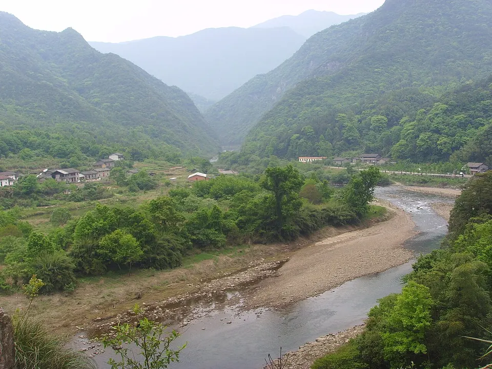
About Yichun
Yichun, whose name means pleasant spring, is a hill city of western Jiangxi and one of the cradles of Chan (Zen) Buddhism: three of the school's five houses have roots here, among them the Caodong school at Dongshan in Yifeng. Mingyue (Bright Moon) Mountain, the north-eastern end of the Wugong range, is known for its hot springs. The city is also a hub of China's lithium-battery industry.
What to eat in Yichun
- Ruizhou shaomai (瑞州烧麦)
- Jinpian Chan tea (宜春金片禅茶)
Listed sites in Yichun
28 sites in Yichun are on the official lists. Those with a page of their own link to it; the rest open as cards on the map.
- Mingyue Mountain 明月山 5A scenic area · on the map
A 136 km² mountain on the border of Yichun's Yuanzhou district and An'fu county, named for its half-moon outline, with its main peak, Taiping, at 1,735.6 m. - Autumn Harvest Uprising Sites, Tonggu 铜鼓秋收起义纪念地 4A scenic area · National heritage site · on the map
A group of sites in Yongning, the county town of Tonggu, centred on the Xiao ancestral hall, a two-block timber-and-earth building of the 1870s on Dingjiang East Road. - Baifengling Horticultural Park, Gao'an 百峰岭 4A scenic area · on the map
A horticulture-themed scenic area in the countryside of Gao'an. - Chandu Culture Expo Park, Yichun 禅都文化博览园 4A scenic area · on the map
A cultural park on Chan (Zen) Buddhism on the eastern side of Yichun city, in a prefecture that promotes itself as a holy land of Chan. - Chinese Traditional Culture Park, Jing'an 中华传统文化园 4A scenic area · on the map
An antique-style cultural park of more than 2,000 mu (about 133 ha) in Baofeng town, built as a traditional-culture study base, where a city-gate opening ceremony and a Confucius ceremony were held in 2018. - Conglin Liquor Expo Park, Shanggao 五谷村丛林酒博园 4A scenic area · on the map
A liquor-culture visitor park (the name means 'liquor expo park') at Wugu village on the northern edge of Shanggao town. - Dongshan, Yifeng 洞山 4A scenic area · National heritage site · on the map
A mountain village in Tong'an township where the Tang monk Liangjie founded Puli Chan Temple, regarded as the ancestral temple of the Caodong school of Chan (Zen) Buddhism. - Gezao Mountain, Zhangshu 阁皂山 4A scenic area · National heritage site · on the map
A Daoist mountain south of Zhangshu, regarded as the ancestral mountain of the Lingbao school of Daoism and counted as the 36th of Daoism's blessed lands. - Henghui Art Agriculture Park, Wanzai 恒晖艺术农业 4A scenic area · on the map
A farm-tourism park in the countryside near Sanxing town, run under the name 'art agriculture' (yishu nongye). - Love Flower Town, Fengcheng 爱情花卉小镇 4A scenic area · on the map
A flower-themed park of about 4.7 km² at Tancheng village in Meilin town, built from 2018 on former barren hills around a flower and nursery-stock business. - Mingyue Qianguqing Theme Park, Yichun 宜春宋城明月千古情 4A scenic area · on the map
A commercial theme park in Wentang town, developed with the Songcheng Performance Group and opened on 28 December 2018. - Qixingling Ski Resort, Tonggu 七星岭 4A scenic area · on the map
A mountain resort in Paibu town with a ski area whose slopes the county uses for mass-participation ski races. - Qiyin Valley 栖隐谷 4A scenic area · on the map
A wooded valley on the eastern side of Mingyue Mountain, run as a separate scenic area from the main mountain gate near Wentang and rated national 4A in 2022. - Sanzhualun Forest Park, Jing'an 三爪仑 4A scenic area · on the map
A forested valley area in northern Jing'an county, run as a national forest park and best known for river rafting and a small forest train. - Tianzhufeng, Tonggu 天柱峰 4A scenic area · on the map
A forested mountain scenic area on the shore of Jiulong Lake in Daduan town, in the county with the highest forest cover in Jiangxi. - Wanzai Ancient Town 万载古城 4A scenic area · on the map
A restored historic quarter in the centre of Wanzai (the Tianxia old-town district) with Ming and Qing buildings, including 26 ancestral halls, old houses and granaries, restored over about five years. - Former Hunan-Hubei-Jiangxi Revolutionary Base, Xianyuan 湘鄂赣革命根据地旧址 National heritage site · on the map
From April 1932 to January 1934 the Hunan-Hubei-Jiangxi provincial Party committee and provincial soviet government were based at Xiaoyuan, now Xianyuan village. - Hongzhou Kiln, Fengcheng 洪州窑遗址 National heritage site · on the map
Hongzhou celadon was fired around Fengcheng from the late Eastern Han onwards, and the kiln is counted among the six famous celadon kilns of the Tang; 44 kiln sites in 19 villages lie in six townships on both banks of the Gan River. - Hualin Papermaking Workshop Site, Gao'an 华林造纸作坊遗址 National heritage site · on the map
Remains of bamboo-paper workshops in the hills of the Hualin Mountain scenic area near Zhouling village, where archaeologists found the foundations of sixteen water-driven stamping mills along the streams and excavated workshops from the Southern Song to the Ming. - Jimei Stone Archway, Fengxin 济美石坊 National heritage site · on the map
A four-sided stone memorial archway, 12.2 m high and 4.15 m wide, carved to imitate timber construction, standing on the north bank of the Liao River. - Jingxian Jia Ancestral Hall, Gao'an 景贤贾氏宗祠 National heritage site · on the map
A Ming-dynasty clan ancestral hall in the middle of Jiajia village, with four halls in sequence on a site of about 1,870 m²: the Zhoujin Hall, a front pavilion for bowing, a rear shrine hall and a Guanyin hall. - Lizhou'ao Eastern Zhou Tomb Museum, Jing'an 李洲坳东周墓葬 National heritage site · on the map
A museum at the site of a large Eastern Zhou tomb in Shuikou township, excavated in 2007 after looters broke into it, where a mound about 12 m high covered a pit with 47 coffins, a main burial and 46 accompanying ones. - Mazu Pagoda Pavilion, Baofeng Temple 马祖塔亭 National heritage site · on the map
A hexagonal granite pavilion of 1085 inside Baofeng Temple, covering the tomb pagoda of the Tang Chan master Mazu Daoyi, whose pagoda was first built in 791. - Mengshan Silver Mine Site 蒙山银矿遗址 National heritage site · on the map
Remains of a silver-mining district on Mount Meng that worked from the Southern Song to the Ming, about 160 years in all, around the Taizi cliff. - Shanggao Battle Sites 上高会战遗址 National heritage site · on the map
Four wartime sites of the 1941 Battle of Shanggao, mostly old ancestral halls and village houses, were opened with displays in September 2020: the general headquarters of the Chinese 19th Army Group, its women's battlefield service corps, a wartime prison and the command post of the 58th Division. - Tomb of Zhu Shi, Gao'an 朱轼墓 National heritage site · on the map
The tomb of Zhu Shi (1665-1736), a Gao'an man who served three Qing emperors, as governor of Zhejiang and later as Minister of Personnel and grand secretary. - Yuanzhou Qiaolou (Drum Tower) 袁州谯楼 National heritage site · on the map
A gate tower built in 944 under the Southern Tang as part of the Yuanzhou prefectural offices, now known as the Yichun Drum Tower. - Zhuweicheng Site, Zhangshu 筑卫城遗址 National heritage site · on the map
A settlement enclosure on the north slope of Dagu Hill, named for the earth walls that encircle it and measuring about 410 by 360 m.
On the map
Open Yichun on the illustrated map to see its outline, its places and listed sites together, and to add them to a trip.
Open Yichun on the map