 Atlas of China
Miran 米兰古城Mǐlán Gǔchéng
4A scenic area · National heritage site · Bayingolin, Xinjiang
- Time needed
- 1–2 hours
- Days to budget
- Half a day
- City
- Bayingolin
- Region
- Xinjiang
- Type
- Heritage
- Listed as
- 4A scenic area, National heritage site
About Miran
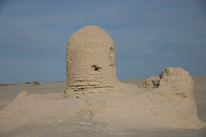
The ruins of a Silk Road oasis town where the Lop desert meets the Altun Mountains, once part of the Shanshan (Loulan) kingdom, with a large rectangular fort built under Tibetan rule in the 8th–9th centuries, Buddhist temple and stupa ruins and traces of an ancient irrigation system. Aurel Stein excavated murals here in 1907, including winged figures in a Roman-influenced style signed by a painter named Tita, and Tibetan documents found in the fort are among the oldest known in that script.
How to get to Miran
Near Milan town, about 80 km east of Ruoqiang town by road; Milan station on the Golmud–Korla railway is nearby.
On the map
Open Miran on the illustrated map to see the terrain around it and what else is close, and to add it to a trip.
Open Miran on the map