 Atlas of China
Jingpo Lake 镜泊湖Jìngpō Hú
5A scenic area · Mudanjiang, Heilongjiang
- Time needed
- Half a day to a full day
- Days to budget
- 1 day
- City
- Mudanjiang
- Region
- Heilongjiang
- Type
- Nature
- Listed as
- 5A scenic area
About Jingpo Lake
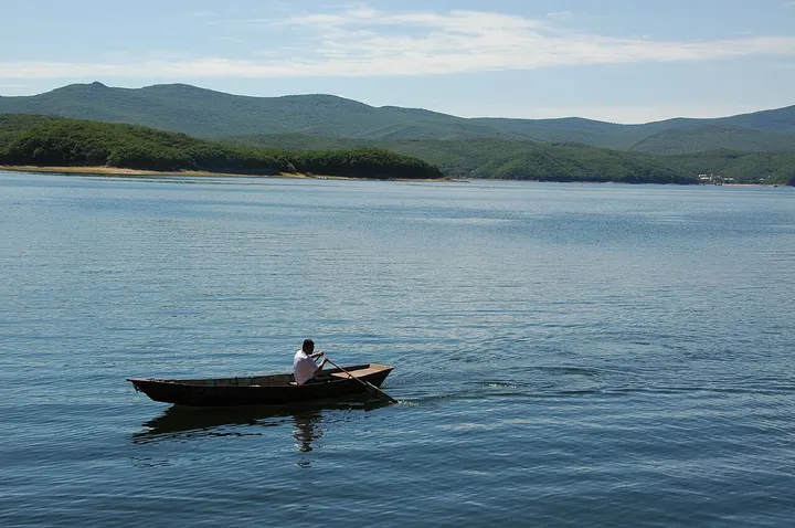
A long, narrow lake in the Zhangguangcai and Laoye mountains, formed when lava from volcanic eruptions dammed the Mudan River; its water area is about 90 sq km and the scenic district is also a UNESCO Global Geopark. Most visitors head for the northern end, around Diaoshuilou Falls, and take a boat out along the lake. The wider scenic district also takes in the Underground Forest crater park and the Bohai Shangjing site, which have their own entries on this map.
How to get to Jingpo Lake
The northern gate and Diaoshuilou Falls are about 90 km by road south-west of Mudanjiang (the city's figure) and about 64 km by road from Ning'an.
Nearby
Also within 20 km: Shangjing Longquanfu 渤海国上京龙泉府遗址 (20 km), Peony Group Smart Science and Technology Museum, Ning'an 牡丹集团宁安智慧科技馆 (20 km).
On the map
Open Jingpo Lake on the illustrated map to see the terrain around it and what else is close, and to add it to a trip.
Open Jingpo Lake on the map