 Atlas of China
Wangtianshu Rainforest Scenic Area 望天树Wàngtiānshù
4A scenic area · Xishuangbanna, Yunnan
- Time needed
- Half a day
- Days to budget
- Half a day
- City
- Xishuangbanna
- Region
- Yunnan
- Type
- Nature
- Listed as
- 4A scenic area
About Wangtianshu Rainforest Scenic Area
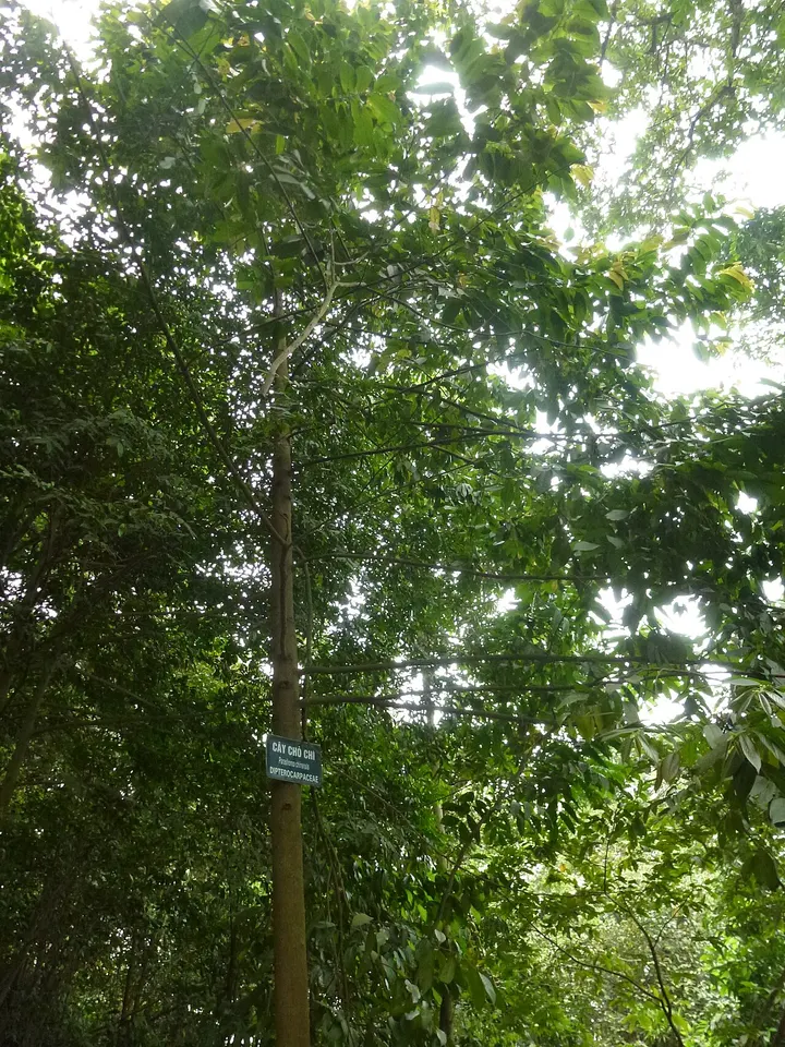
A rainforest area near Bubeng, north of Mengla and within the Xishuangbanna nature reserve, named after the wangtianshu (Parashorea chinensis), a dipterocarp that grows 40 m tall or more and is under first-class national protection in China. Its best-known feature is a canopy walkway of cable and rope slung between the trunks about 36 m above the ground, and boat trips run on the Nanla River.
How to get to Wangtianshu Rainforest Scenic Area
Roughly 15–20 km north of Mengla town, about half an hour by road; carry your passport for checkpoints in this border area.
Nearby
- Xishuangbanna Tropical Botanical Garden 中国科学院西双版纳热带植物园 50 km
China's largest botanical garden, with giant banyans, palms and true primary rainforest
On the map
Open Wangtianshu Rainforest Scenic Area on the illustrated map to see the terrain around it and what else is close, and to add it to a trip.
Open Wangtianshu Rainforest Scenic Area on the map