 Atlas of China
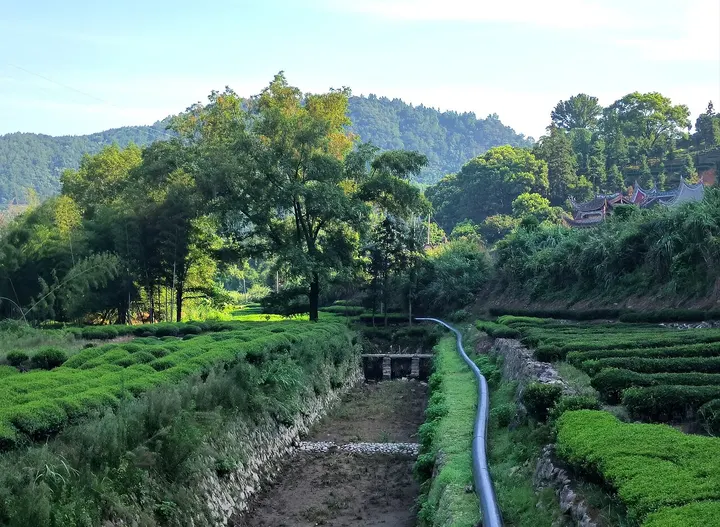
Huotong (Huang Ju) Irrigation System 霍童灌溉工程Huòtóng Guàngài Gōngchéng
National heritage site · Ningde, Fujian
- Time needed
- Half a day
- Days to budget
- Half a day
- City
- Ningde
- Region
- Fujian
- Type
- Heritage
- Listed as
- National heritage site
About Huotong (Huang Ju) Irrigation System
An irrigation system on both banks of the Huotong Stream at Huotong town, begun by the Sui official Huang Ju around 618 and still watering farmland today. On the right bank the Longyao canal runs along the hillside into Shiqiao village, where it once drove a cascade of water-powered rice pounders and still feeds ponds named after the sun, moon and stars; on the left bank the Pipa Cave channel ran through tunnels cut by heating the rock with fire and cracking it with water. It was listed as a World Heritage Irrigation Structure in 2017.
How to get to Huotong (Huang Ju) Irrigation System
In Huotong town about 35 km by road north-west of Ningde city; the town also has old streets of Ming and Qing buildings.
Nearby
Also within 20 km: Lingong Zhongping Wang Ancestral Temple 林公忠平王祖殿 (10 km).
On the map
Open Huotong (Huang Ju) Irrigation System on the illustrated map to see the terrain around it and what else is close, and to add it to a trip.
Open Huotong (Huang Ju) Irrigation System on the map