 Atlas of China
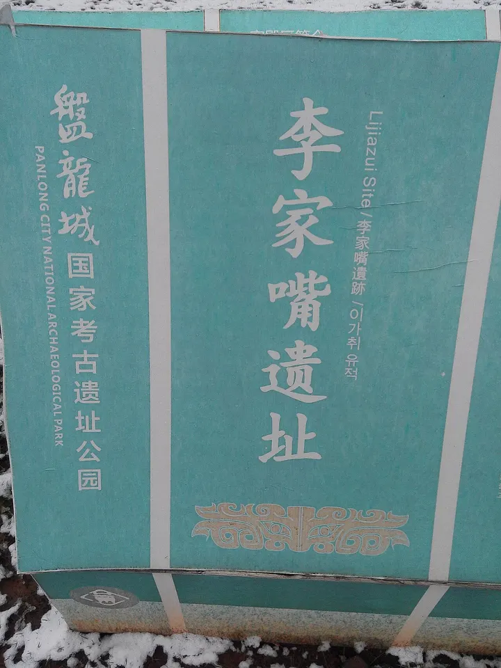
Panlongcheng 盘龙城遗址Pánlóngchéng Yízhǐ
4A scenic area · National heritage site · Wuhan, Hubei
- Time needed
- 2-3 hours
- Days to budget
- Half a day
- City
- Wuhan
- Region
- Hubei
- Type
- Heritage
- Listed as
- 4A scenic area, National heritage site
About Panlongcheng
The remains of a walled Shang-dynasty city of about 1500-1300 BCE on the north bank of the Yangtze, uncovered by a flood in 1954 and described by the Wuhan government as the highest-ranking and largest early Shang site known in the Yangtze valley. Excavations have found city walls, palace foundations, high-status tombs and a bronze-casting workshop outside the walls, and the site was named one of China's ten major archaeological discoveries of 2024. It is a national archaeological site park, and its museum, opened in 2019, shows bronzes, jades and pottery from the digs while the walls and foundations are laid out in the grounds.
How to get to Panlongcheng
On the northern edge of Wuhan in Huangpi district, roughly 15 km north of Hankou, reached by taxi or car, and closed on Mondays except public holidays.
Nearby
- Yellow Crane Tower 黄鹤楼 20 km
A tower rebuilt many times over, made immortal by a single Tang poem - Hubei Provincial Museum 湖北省博物馆 20 km
Marquis Yi's ancient bronze bells, played live, and the sword of King Goujian
Also within 20 km: Wuhan Polar Ocean Resort 武汉极地海洋度假区 (under 10 km), Wuhan Planning Exhibition Hall 武汉规划展示馆 (under 10 km), Wuhan Museum 武汉博物馆 (under 10 km), Site of the Beijing–Hankou Railway General Union 京汉铁路总工会旧址 (under 10 km), Gude Temple 古德寺 (under 10 km), Wuhan Garden Expo Park 武汉园博园 (under 10 km).
On the map
Open Panlongcheng on the illustrated map to see the terrain around it and what else is close, and to add it to a trip.
Open Panlongcheng on the map