 Atlas of China
Bayanbulak Grassland 巴音布鲁克Bāyīnbùlǔkè
5A scenic area · Bayingolin, Xinjiang
- Time needed
- 1–2 days
- Days to budget
- 1½ days
- City
- Bayingolin
- Region
- Xinjiang
- Type
- Nature
- Listed as
- 5A scenic area
About Bayanbulak Grassland
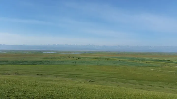
A high grassland basin in the central Tian Shan at about 2,000–2,500 m, home mainly to Mongol herders, where the Kaidu River meanders through marshes and oxbow lakes. Its Swan Lake wetlands form a national swan reserve and part of the Xinjiang Tianshan World Heritage Site, and the best-known view is the river's 'nine bends and eighteen turns' from the viewpoint above it.
How to get to Bayanbulak Grassland
Bayanbulak town, where the visitor centre is, lies in western Hejing County about 360 km by road north-west of Korla and has a small airport.
Nearby
- Nalati Grassland 那拉提草原 30 km
A green plateau meadow where Kazakh herders ride beneath spruce slopes
On the map
Open Bayanbulak Grassland on the illustrated map to see the terrain around it and what else is close, and to add it to a trip.
Open Bayanbulak Grassland on the map