 Atlas of China
Erdaobaihe 二道白河名镇Èrdàobáihé Míngzhèn
4A scenic area · Yanbian, Jilin
- Time needed
- 2–3 hours
- Days to budget
- Half a day
- City
- Yanbian
- Region
- Jilin
- Type
- City
- Listed as
- 4A scenic area
About Erdaobaihe
Erdaobaihe is the gateway town on the north side of Changbai Mountain and an important base for visitors going up from this side; its centre was approved as a 4A scenic area in January 2019. The town has a network of riverside walking and cycling paths, parks and plazas, and a sculpture park among stands of the tall local pines known as 'beauty pines', with hotels, restaurants and shops serving the mountain.
How to get to Erdaobaihe
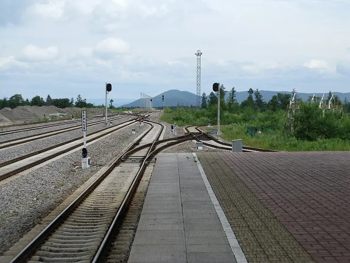
About 28 km north-north-west of the Changbai Mountain north gate in a straight line, with Changbaishan railway station about 3 km to the north-north-east.
Nearby
- Changbai Mountain & Heaven Lake 长白山天池 50 km
A volcanic crater lake on the China–North Korea border, often wrapped in cloud
Also within 20 km: Changbai Mountain Temple Site (Baomacheng) 长白山神庙遗址 (under 10 km), Mojie Scenic Area 长白山魔界 (under 10 km), Changbai Mountain History and Culture Park 长白山历史文化园 (10 km), Lushuihe National Forest Park 露水河国家森林公园 (20 km), Xueshan Feihu (Snow Mountain Lake) 雪山飞湖 (20 km), Baihuagu Korean Folk Village 长白山百花谷朝鲜族古村落 (20 km).
On the map
Open Erdaobaihe on the illustrated map to see the terrain around it and what else is close, and to add it to a trip.
Open Erdaobaihe on the map