 Atlas of China
Wellington Street 威灵顿街Wēilíngdùn Jiē
Hong Kong, Hong Kong
- Time needed
- 30 minutes–1 hour
- Days to budget
- Half a day
- City
- Hong Kong
- Region
- Hong Kong
- Type
- City
About Wellington Street
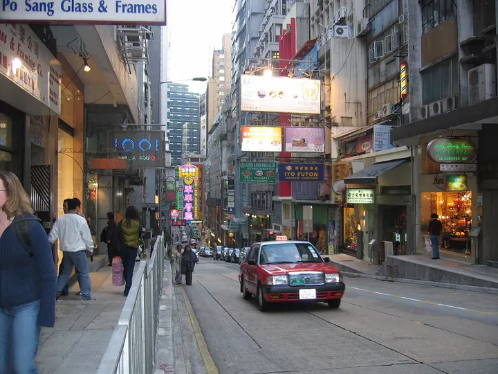
Wellington Street runs through Central between Queen's Road Central and Wyndham Street, lined with a mix of old and new buildings, restaurants, bars and small shops. From the 1950s to the 1980s it was the centre of Hong Kong's movable-type printing trade, with more than 150 print shops, the last of which closed in 2019. Number 120, the former Wing Woo Grocery, is a pre-war tenement building preserved as a heritage site.
How to get to Wellington Street
A short walk from Sheung Wan or Central MTR station.
Nearby
- Victoria Peak 太平山顶 under 10 km
Ride the 1888 funicular to the skyline view, then walk the Lugard Road loop - Victoria Harbour 维多利亚港 under 10 km
Glass towers and green hills around a harbour you can cross in ten minutes - Tian Tan Buddha & Ngong Ping 天坛大佛与昂坪 30 km
A giant bronze Buddha on Lantau, reached by a 25-minute cable car ride
Also within 20 km: Gage Street 结志街 (under 10 km), Central–Mid-Levels Escalators 中环至半山自动扶梯 (under 10 km), The Center 中环中心 (under 10 km), Central Market 中环街市 (under 10 km), Kau U Fong 九如坊 (under 10 km), Tai Kwun (Former Central Police Station Compound) 大馆 (under 10 km).
On the map
Open Wellington Street on the illustrated map to see the terrain around it and what else is close, and to add it to a trip.
Open Wellington Street on the map