 Atlas of China
Nujiang 怒江Nùjiāng
Mission churches and Tibetan temples in a canyon walled by 4,000-metre ranges
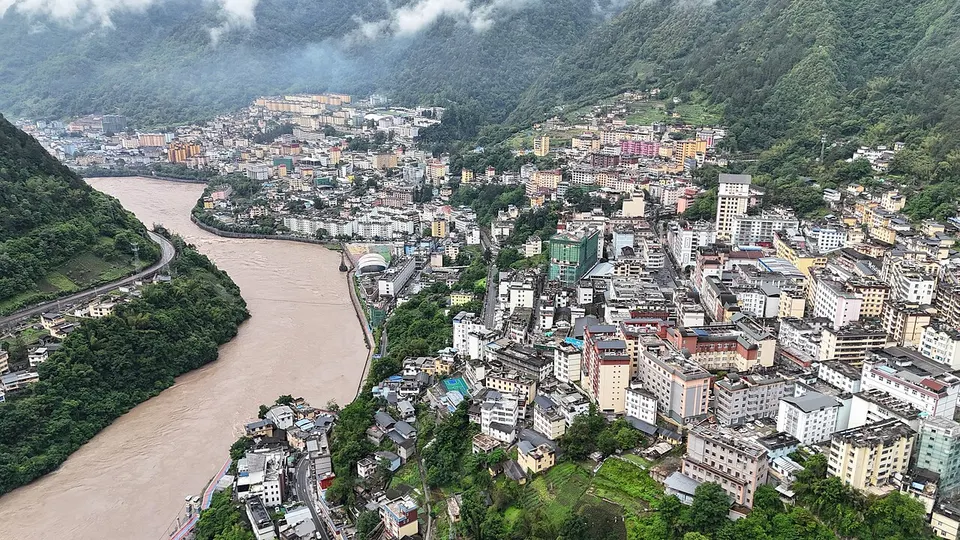
About Nujiang
Nujiang is one long, steep valley: the Nu River, the upper Salween, runs undammed between the Gaoligong and Biluo ranges, with Myanmar beyond the western ridges. It is China's only Lisu autonomous prefecture and also home to the Nu, Derung and Pumi, and its villages hold both Christian churches and Tibetan Buddhist temples. A road follows the river north to Bingzhongluo, the Dulong River Valley lies beyond the Gaoligong range, and much of the region lies in the Three Parallel Rivers World Heritage Site.
What to eat in Nujiang
- Stone-slab baba (石板粑粑)
Featured places in Nujiang
-
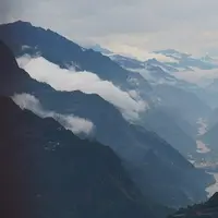
Nujiang Grand Canyon & Bingzhongluo 怒江大峡谷与丙中洛
A deep, remote river canyon of Lisu and Nu villages, mission churches and a horseshoe bend
Listed sites in Nujiang
2 sites in Nujiang are on the official lists. Those with a page of their own link to it; the rest open as cards on the map.
- Dulong River Valley 独龙江 4A scenic area · on the map
The remote valley of the Dulong River, a headwater of the Irrawaddy, in the far north-western corner of Yunnan, west of the Gaoligong range and bordering Tibet and Myanmar. - Laomudeng and Zhiziluo 老姆登与知子罗 4A scenic area
Two neighbouring places high on the eastern slopes of the Nu River canyon in Pihe Nu Township.
On the map
Open Nujiang on the illustrated map to see its outline, its places and listed sites together, and to add them to a trip.
Open Nujiang on the map