 Atlas of China
Panzhihua 攀枝花Pānzhīhuā
Named for the kapok tree's red flowers, a sunny steel city in the far south
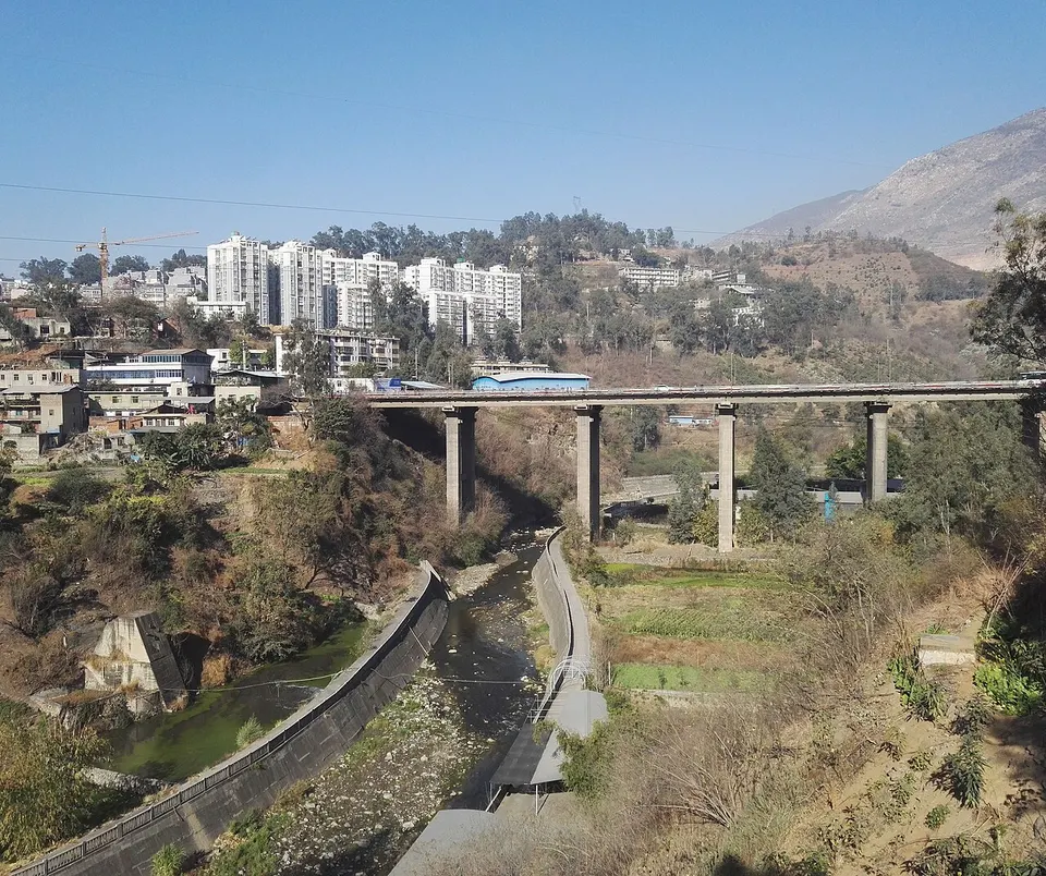
About Panzhihua
Panzhihua was built from almost nothing in the mid-1960s to mine and smelt the iron, vanadium and titanium in its hills, and it is still a working steel city, its streets stacked up the slopes where the Yalong River meets the Jinsha. Its long, dry and sunny winters are promoted to holidaymakers, and the hills shelter a forest of the rare Panzhihua cycad. Farther out lie the Ertan reservoir, the Yi village of Yishala and the karst plateau of Gesala.
What to eat in Panzhihua
- Yanbian mutton rice noodles (盐边羊肉米线)
Listed sites in Panzhihua
5 sites in Panzhihua are on the official lists. Those with a page of their own link to it; the rest open as cards on the map.
- Ashuda Four Seasons Flower Sea 阿署达四季花海 4A scenic area · on the map
A flower park opened in January 2025 on the capped Majiatian tailings reservoir, where the Panzhihua steelworks piled ore waste for about 50 years until it was closed in 2022. - Ertan National Forest Park 二滩国家森林公园 4A scenic area · on the map
A forest park of steep wooded hills around the reservoir of the Ertan hydropower station on the lower Yalong River. - Gesala 格萨拉 4A scenic area · on the map
A high plateau of meadows, forest and limestone country in north-western Yanbian County, on the border with Yunnan, where karst sinkholes, a stone forest and caves are the main sights. - Lisu Terraced Fields, Xinshan 傈僳梯田 4A scenic area · on the map
Terraced fields climbing the hillsides around Xinshan, a Lisu ethnic township in the hills of Miyi County, worked by the Lisu for generations. - Yishala Village 迤沙拉 4A scenic area
A Yi village in the dry, hot valley of the Jinsha River near the Yunnan border, listed as a Historical and Cultural Village of China in 2005.
On the map
Open Panzhihua on the illustrated map to see its outline, its places and listed sites together, and to add them to a trip.
Open Panzhihua on the map