 Atlas of China
Golog 果洛Guǒluò
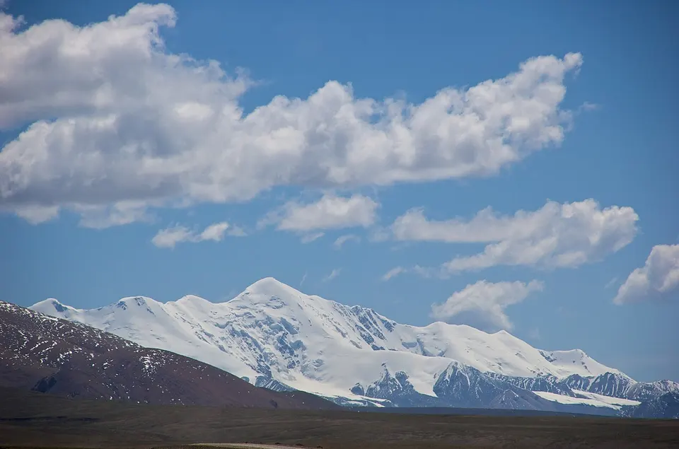
Sacred peaks and a great bend of the Yellow River on the high grasslands
- Type
- Tibetan Autonomous Prefecture
- Region
- Qinghai
- Seat
- Dawu
- Listed sites
- 31 rated 4A · 3 national heritage
About Golog
Golog (Guoluo) is the south-eastern corner of Qinghai, a thinly peopled land of grassland, lakes and snow peaks averaging more than 4,000 metres, where over nine in ten people are Tibetan. The Yellow River makes one of its great bends around the Amnye Machen range, home of the mountain deity Machen Pomra and long a pilgrimage circuit. Dawu, the prefecture seat, lies in Maqên County, where Rakya Monastery stands, while Madoi to the west holds the Gyaring and Ngoring lakes.
Listed sites in Golog
3 sites in Golog are on the official lists. Those with a page of their own link to it; the rest open as cards on the map.
- Red Army Valley, Banma 班玛红军沟 4A scenic area · National heritage site · on the map
A forested valley in Yartang township, Banma County, where Red Army units spent about three weeks in July 1936 on the Long March, and which local people renamed Red Army Valley. - Golog Peaceful Liberation Memorial, Dari 果洛和平解放纪念地 National heritage site · on the map
A memorial site near Zhalang Temple in Dari County, marking the arrival in August 1952 of a Northwest Military and Political Commission work team, whose meeting with tribal and religious leaders at the temple on 24 August is described in official accounts as the peaceful liberation of Golog. - Rakya Monastery 拉加寺 National heritage site · on the map
A Gelug monastery in Lajia town, Maqên (Maqin) County, built in the Qing period and also known in Chinese as Jiachan Temple.
On the map
Open Golog on the illustrated map to see its outline, its places and listed sites together, and to add them to a trip.
Open Golog on the map