 Atlas of China
Dongfang 东方Dōngfāng
Sun-baked western coast with a karst ridge and a rosewood valley
- Type
- County-level Cityadministered directly by Hainan
- Region
- Hainan
- Listed sites
- 32 rated 4A · 1 national heritage
About Dongfang
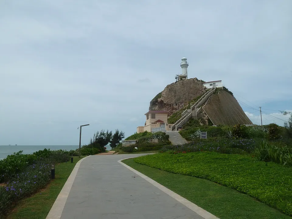
Dongfang, a county-level city governed directly by the province, lies on Hainan's western coast facing the Gulf of Tonkin, where it is drier and sunnier than much of the island. Basuo is its port, and the coast is known for its sunsets. Inland, E'xian Ridge, a forested limestone massif above the Daguangba reservoir, has boat trips, a cave and a Li and Miao village, while Huali Valley grows huanghuali rosewood, a tree for which Dongfang is known.
Listed sites in Dongfang
3 sites in Dongfang are on the official lists. Those with a page of their own link to it; the rest open as cards on the map.
- E'xian Ridge 娥仙岭 4A scenic area · on the map
A forested limestone massif in Donghe town on the shore of the Daguangba reservoir, whose main peak, E'niang Jiufeng, rises above 1,200 metres and is covered in rainforest on karst. - Huali Valley (Rosewood Valley) 花梨谷 4A scenic area · on the map
A leisure park themed on Hainan's huanghuali rosewood, with a plantation of more than a million trees, flower fields, a picking garden, a visitor centre, a rosewood museum, caravan and star-gazing cabins, and a hot-spring resort. - Basuo Labourers' Memorial Site 侵华日军侵琼八所死难劳工纪念地 National heritage site · on the map
A site on the shore at Basuo that records the forced labour used by the Japanese army to build Basuo port, a railway and military works between 1939 and 1942, when workers brought from Shanghai, Guangzhou, Hong Kong and Hainan, together with more than a thousand Allied prisoners of war, were put to work.
On the map
Open Dongfang on the illustrated map to see its outline, its places and listed sites together, and to add them to a trip.
Open Dongfang on the map