 Atlas of China
Mount Qiyun 齐云山Qíyún Shān
4A scenic area · National heritage site · Huangshan, Anhui
- Time needed
- Half a day
- Days to budget
- Half a day
- City
- Huangshan
- Region
- Anhui
- Type
- Culture
- Listed as
- 4A scenic area, National heritage site
About Mount Qiyun
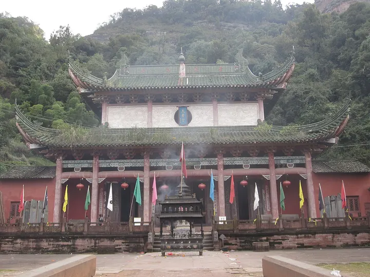
One of China's four sacred mountains of Taoism, a range of red sandstone (Danxia) cliffs and peaks rising to 585 m west of Huangshan city, where Taoist worship goes back to 758–760 and flourished in the Ming around the cult of Zhenwu, the Perfected Warrior. Paths lead past caves, cliff-side temples and shrines, and the mountain holds 305 cliff inscriptions and 232 stone tablets from the Northern Song onwards, the largest a tablet 7.6 m high below the Yuxu Palace inscribed by the Ming painter Tang Yin.
How to get to Mount Qiyun
In Qiyunshan town, Xiuning county, about 33 km west of Tunxi; the old walking route starts at Dengfeng Bridge on the Heng River.
Nearby
- Xidi 西递村 10 km
A quieter UNESCO twin of Hongcun: flagstone lanes, merchant houses and a Ming archway - Hongcun Village 宏村 20 km
A merchant village planned in the shape of an ox, mirrored in its own pond - Huangshan (Yellow Mountain) 黄山 40 km
Granite spires, wind-bent pines and a sea of clouds straight out of an ink painting
Also within 20 km: Dengfeng Bridge 登封桥 (under 10 km), Tong'an Hall, Xiuning 休宁同安堂 (10 km), Pingshan Village 屏山村 (20 km), Nanping Village 南屏村 (20 km), Sanhuai Hall, Xitou 溪头三槐堂 (20 km), Guchengyan 古城岩 (20 km).
On the map
Open Mount Qiyun on the illustrated map to see the terrain around it and what else is close, and to add it to a trip.
Open Mount Qiyun on the map