 Atlas of China
Mount Kunyu 昆嵛山Kūnyú Shān
4A scenic area · Yantai, Shandong
- Time needed
- Half a day to 1 day
- Days to budget
- 1 day
- City
- Yantai
- Region
- Shandong
- Type
- Nature
- Listed as
- 4A scenic area
About Mount Kunyu
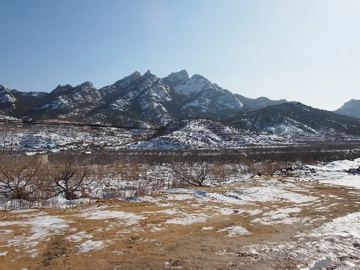
Mount Kunyu is a forested granite range at the eastern end of the Shandong peninsula, rising to 923 m at Taibo Peak and regarded as the birthplace of Quanzhen Daoism in the 12th century. The visitor area is run as Kunyu Mountain National Forest Park, with separate sub-areas that include Shimenli, Jiulongchi, Wuran Temple, Yanxia Cave and Yuegu Hall. It suits hiking and temple visits from Yantai between spring and autumn.
How to get to Mount Kunyu
In the hills south-east of Muping, about 22 km by road from Muping town and about 50 km by road from central Yantai; the scenic area is closed over winter and reopens around the start of March.
Nearby
Also within 20 km: Kunlong Hot Spring 崑龙温泉 (under 10 km), Shengjingshan Cliff Inscriptions 圣经山摩崖 (10 km), Muping Museum (Former Charity Home) 牟平区博物馆(恤养院旧址) (20 km).
On the map
Open Mount Kunyu on the illustrated map to see the terrain around it and what else is close, and to add it to a trip.
Open Mount Kunyu on the map