 Atlas of China
816 Nuclear Military Plant 816工程Bāyāoliù Gōngchéng
4A scenic area · Chongqing, Chongqing
- Time needed
- 2–3 hours
- Days to budget
- Half a day
- City
- Chongqing
- Region
- Chongqing
- Type
- Heritage
- Listed as
- 4A scenic area
About 816 Nuclear Military Plant
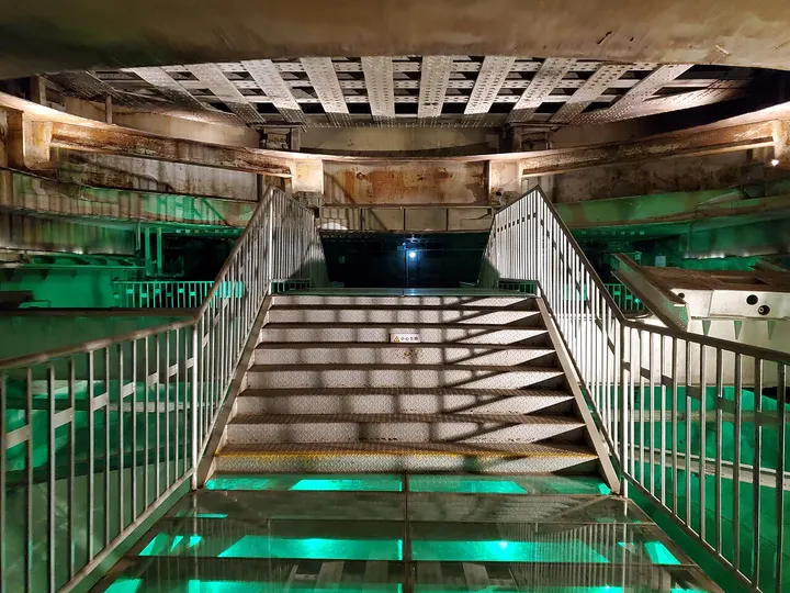
An unfinished underground nuclear plant dug into a mountain beside the Wu River from 1966 as part of the Third Front programme, meant to produce plutonium for weapons and to survive a nuclear attack. Work was halted in 1984 with about 85 per cent of the construction done; the tunnels run for more than 20 km and the largest chamber, built for the reactor, is 79.6 m high. Declassified in 2002, it opened to tourists in 2010.
How to get to 816 Nuclear Military Plant
In Baitao subdistrict on the Wu River, about 40 minutes by road south-east of central Fuling in Fuling District, with a tourist bus from Fuling North railway station.
Nearby
- Wulong Karst 武隆喀斯特 30 km
Three colossal natural bridges, a sinkhole canyon and a cave in the hills of Wulong
Also within 20 km: Wulingshan Great Rift Valley 武陵山大裂谷 (under 10 km), Wulingshan National Forest Park, Fuling 武陵山国家森林公园 (under 10 km), Damu Flower Valley 大木花谷 (20 km).
On the map
Open 816 Nuclear Military Plant on the illustrated map to see the terrain around it and what else is close, and to add it to a trip.
Open 816 Nuclear Military Plant on the map